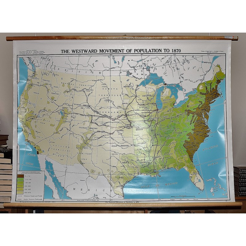
The Westward Movement of Population to 1870 (Large Pull Down Map)
Click Image for Gallery
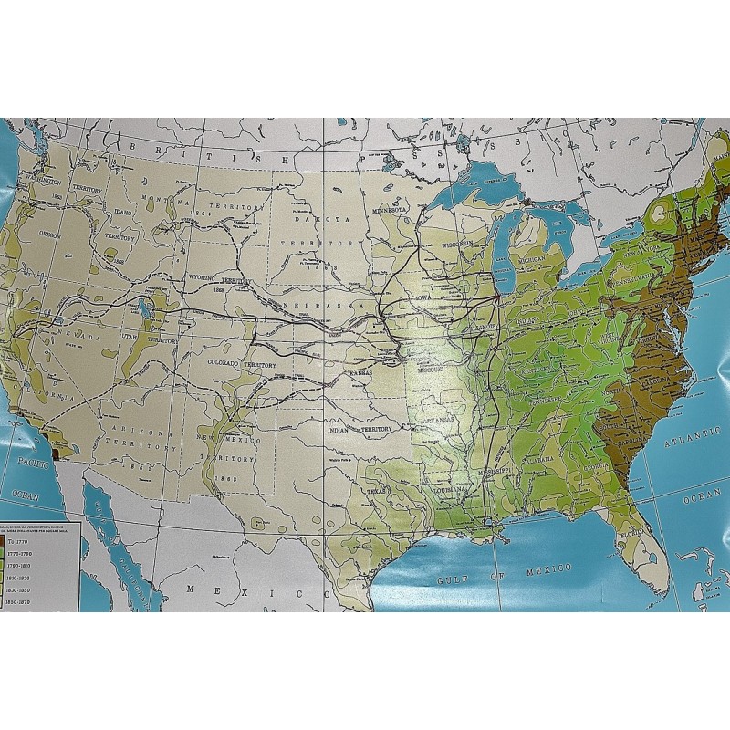
The Westward Movement of Population to 1870 (Large Pull Down Map)
The George F. Cram Co.; Thomas D. Clark
The George F. Cram Co., Indianapolis, 2001
[Map showing growth of the American republic in the 19th] 96 x 132 cm. Color map, wood rods top and bottom. Shows population dispersion, coded by color and period.
Note: This is a large, heavy map. Additional postage will apply depending on delivery location