The Navigator: Containing Directions for Navigating the Monongahela, Alleghany, Ohio, and Mississippi Rivers
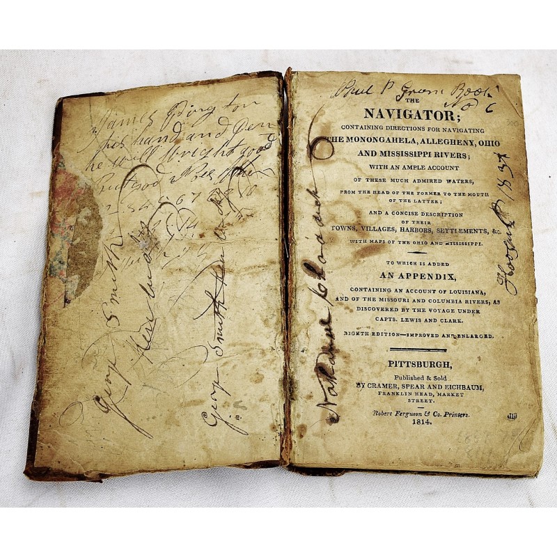


The navigator : containing directions for navigating the Monongahela, Alleghany, Ohio, and Mississippi rivers, with an ample account of these much admired waters ... and a concise description of their towns
Zadok Cramer
Cramer, Spear and Eichbaum, Pittsburgh [Pa.], 1814
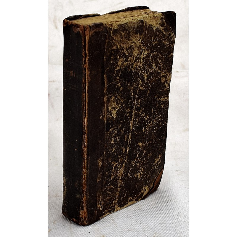
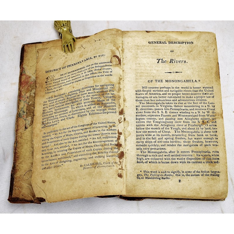
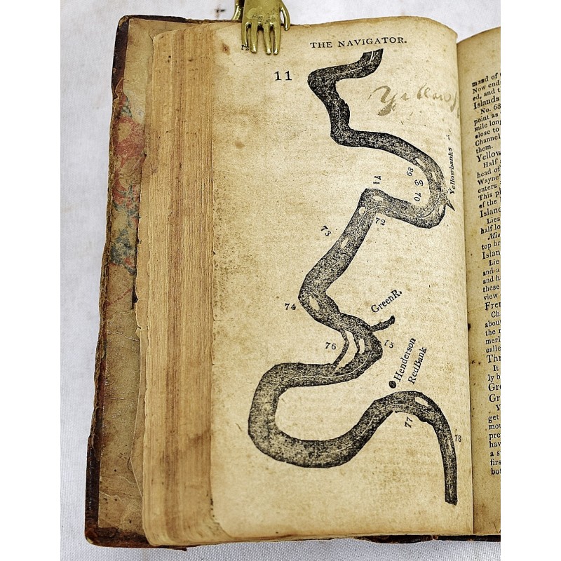
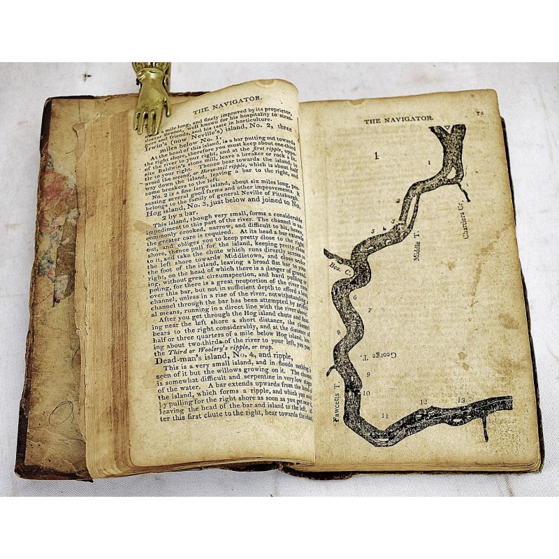
[One of the First Guides to the Ohio and Mississippi Rivers, this edition includes Lewis and Clark's expedition] Eighth edition, improved and enlarged. Contemporary 1/4 sheep. Front hinge split. Mylar dust jacket. Custom fitted box. Title, 13-360 pages: 26 maps only (navigational charts of river bends). p. 225-226 has a tear with loss to text. Tears, heavy reading use. Contemporary marginalia and additional notes throughout. Scattered staining, spotting. Includes a letter to God. Sold with all faults. Lacks Pittsburgh map. Pittsburgh, a long description of the young city (pages 49-72), and a detail of the "Falls of Ohio." "To which is added, an appendix containing an account of Louisiana, and of the Missouri and Columbia Rivers, as discovered by the voyage under Capts. Lewis and Clark." "Most widely used guide to western waters in the early period," Howes C855. Appended in this edition for the first time is an expanded "Abridgement of Lewis and Clark's Expedition," pages 343-349. Erickson, Literature of Lewis and Clark, page 105; Sabin 17386; Goldsmiths'-Kress no. 21031.2