The Alaska Boundary: With 1 Portrait, 2 Charts
Click Image for Gallery
The Alaska Boundary: With 1 Portrait, 2 Charts
Davidson, George.
Published by the Alaska Packers Association, 1903
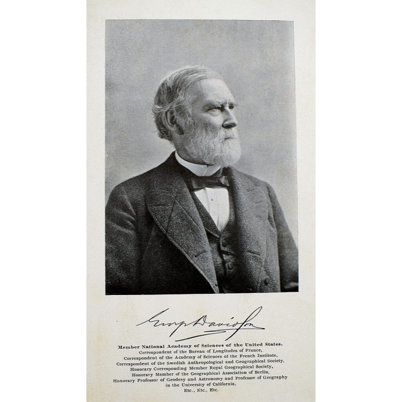
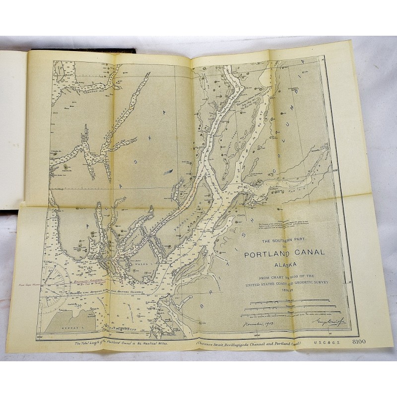
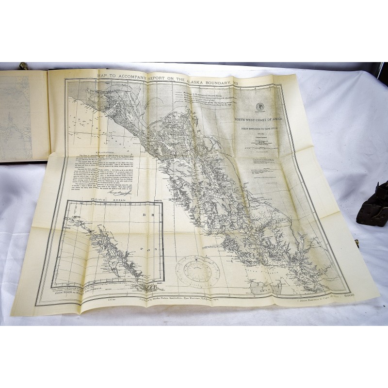
First Edition. Bound in contemporary 3/4 leather over marbled boards. Frontispiece portrait; 2 folding maps. Top-edge gilt. Clean, unmarked pages. Small crack along front joint. Howes D88. Wickersham 1941. Smith N.W. Americana 3394. The two maps are: "Chart to exhibit the Lisiere as claimed by the United States, the Dominion of Canada, and British Columbia."; and "Part of chart No 8100 of the United States Coast and Geodetic Survey to show the relation of Portland Channel to Pearse Channel; and the awarded boundary".