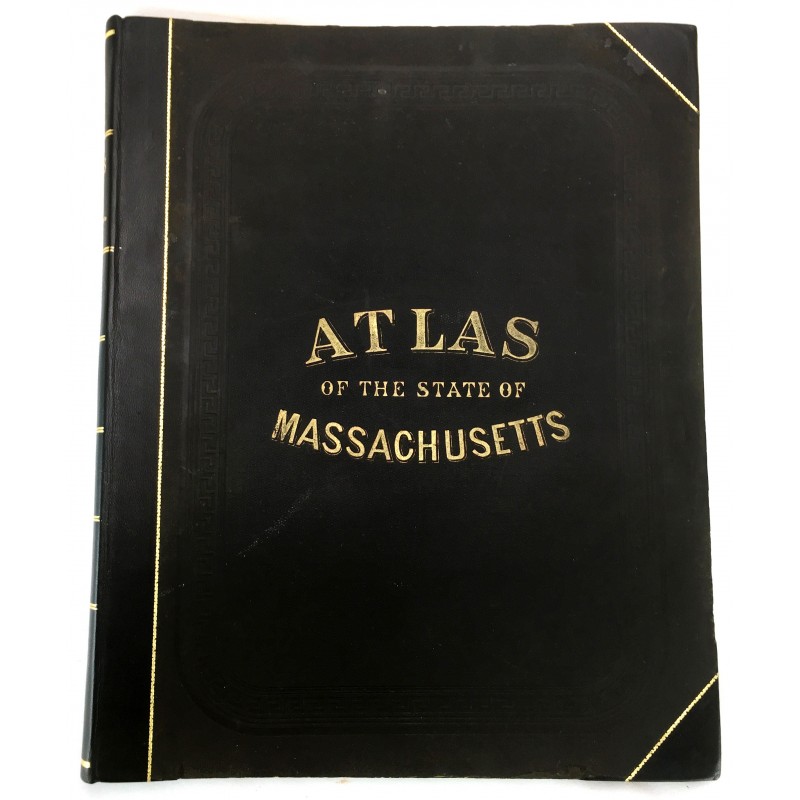
Official topographical atlas of Massachusetts
Click Image for Gallery
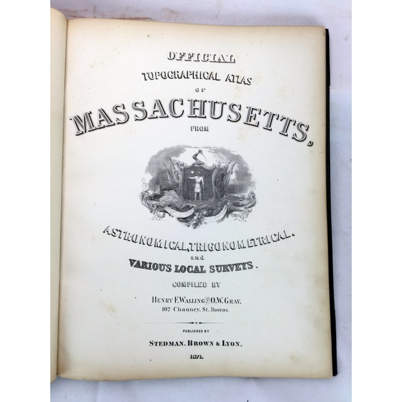
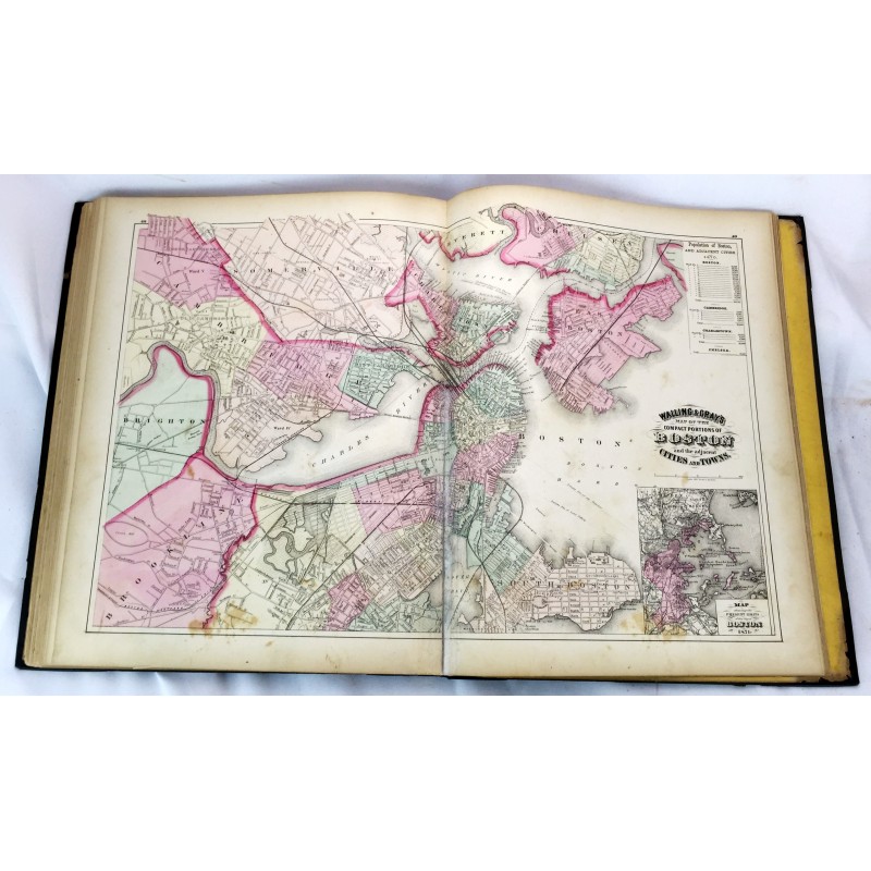
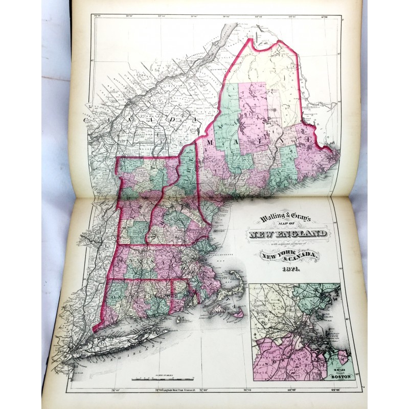
Official topographical atlas of Massachusetts,: From astronomical, trigonomical and various local surveys;
Henry Francis Walling; Ormando Willis Gray
Stedman, Brown & Lyon, 1871.
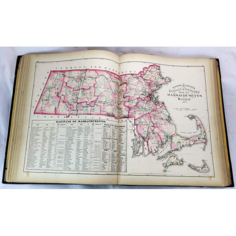
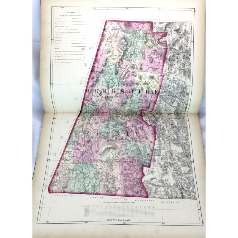
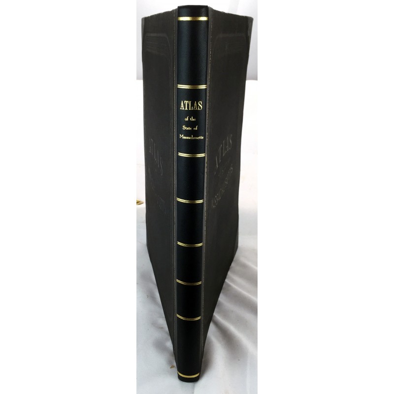
Folio, 44 x 35 cm. Bound in publisher's cloth, rebacked. 19, xx-xxi, [1], 22-23, xxiv-xxxi, 2-49 pages including 16 color maps (most double page) tables. Hardcover. Good binding and cover. Clean, unmarked pages. Phillips, 14399; Phillips. Maps of America, p. 401; LeGear. Atlases of the United States, L1551.
This is an oversized or heavy book, that requires additional postage for international delivery outside the US.