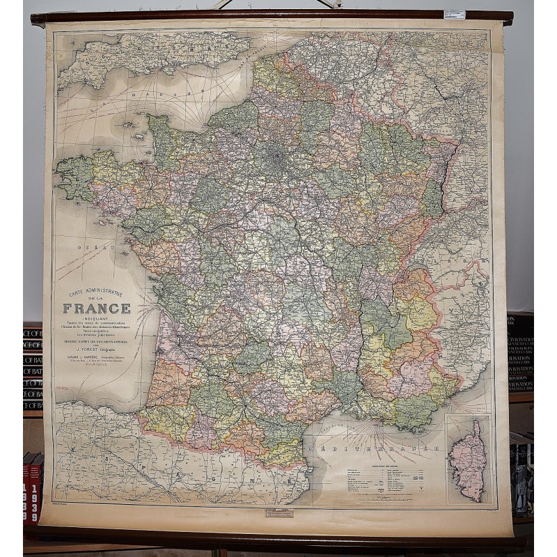
Carte Administrative de la France: Chemins de fer, Routes Principales, Voies Navigable (Large Pull Down Map)
Click Image for Gallery
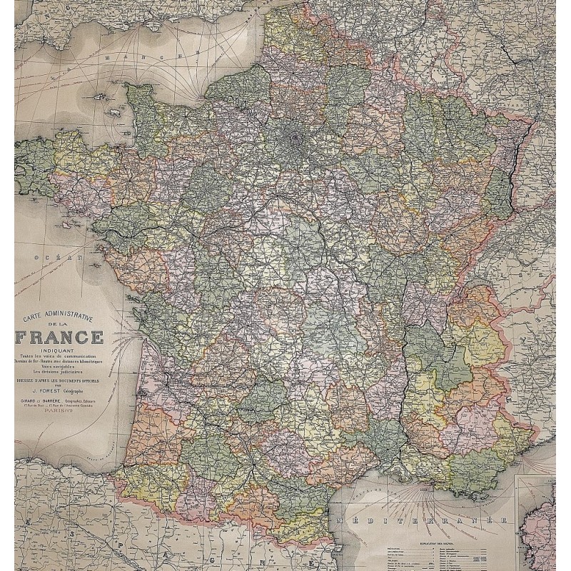
Carte Administrative de la France: Chemins de fer, Routes Principales, Voies Navigable (Large Pull Down Map)
Girard & Barrere, Girard, Barrere et Thomas
Girard & Barrere, Girard, Barrere et Thomas, 1965
[Map of France] 120 x 110 cm. Color map, mounted on muslin, wood rods top and bottom. Scale 1:1,000,000. Includes inset of Paris region and ancillary map of Corsica. Small tears at head of map.
Note: This is a large, heavy map. Additional postage will apply depending on delivery location