Atlas of Baltimore County Maryland
Click Image for Gallery
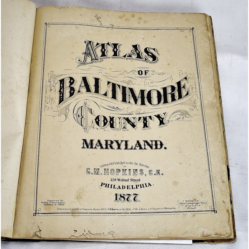

Atlas of Baltimore County Maryland
C. E. G. M. Hopkins
Baltimore County Historical Society, 1877
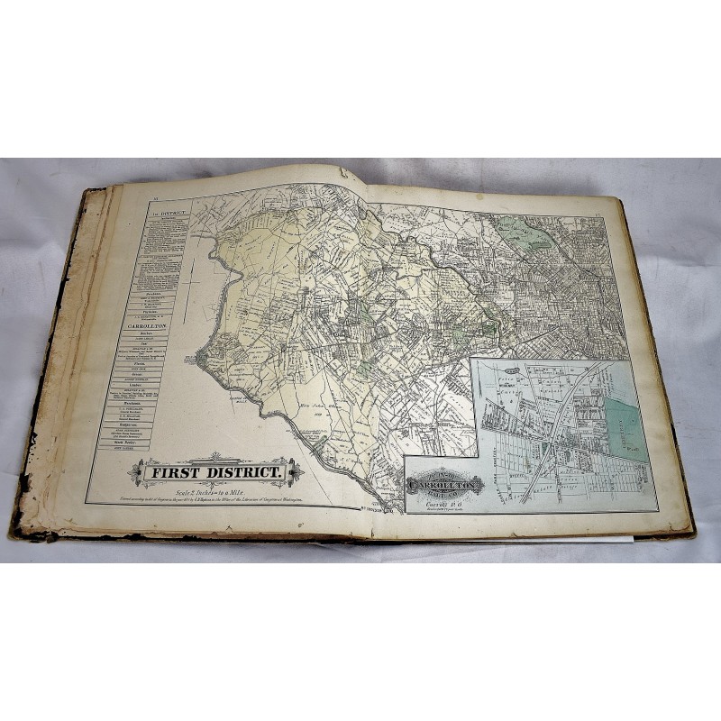
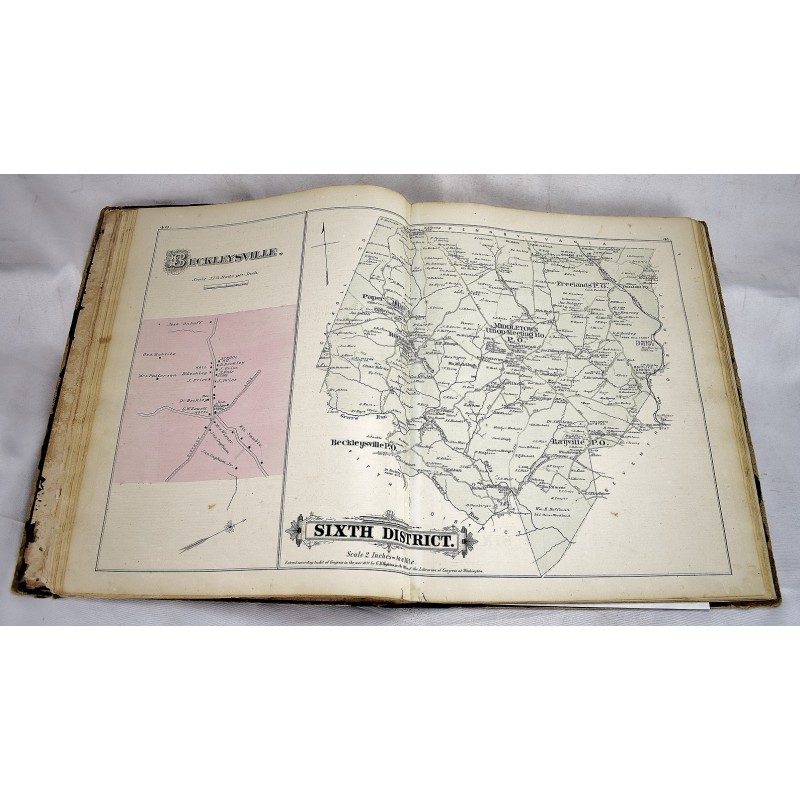
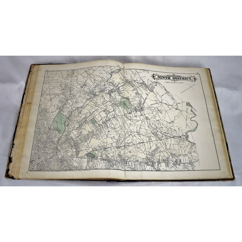
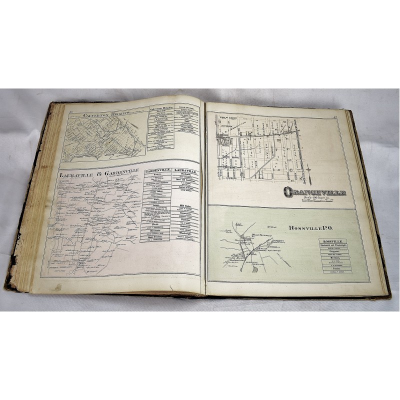
[Early Baltimore Atlas : Sold with all faults] Bound in publisher's cloth. Cover worn. Rebacked. 85 pages : color maps ; 45 cm. Hardcover. Double-page maps of most major county election districts plus Baltimore City street map, state of Maryland, the U.S., and world. This copy lacking original title page. 51 double-page to partial-page lithograph maps with original hand coloring, two pages with b/w lithograph views, periodic text leaves.