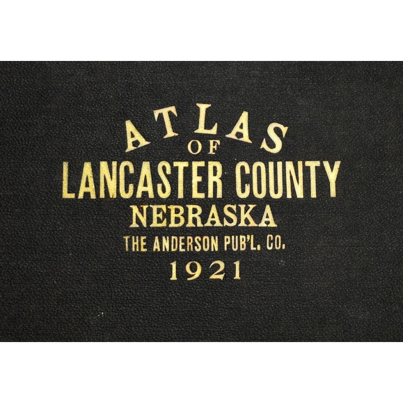
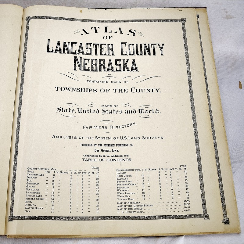
Atlas of Lancaster County, Nebraska: Containing Maps of Townships of the County, Maps of State, United States and World, Farmers Directory, Analysis of the System of U.S. Land Surveys
Click Image for Gallery
Atlas of Lancaster County, Nebraska: Containing Maps of Townships of the County, Maps of State, United States and World, Farmers Directory, Analysis of the System of U.S. Land Surveys
Anderson Publishing Company
Des Moines : Anderson, 1921
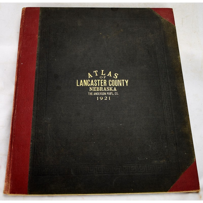
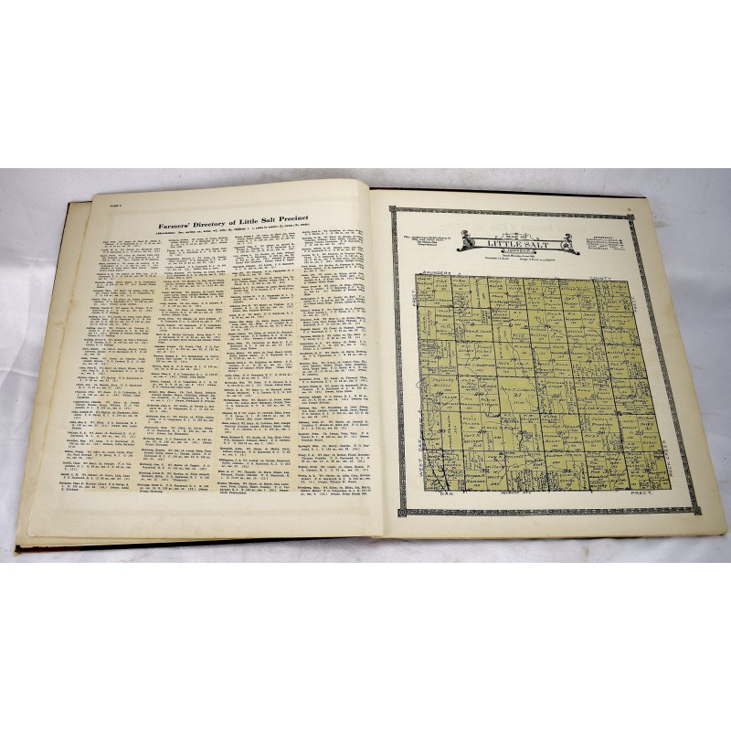
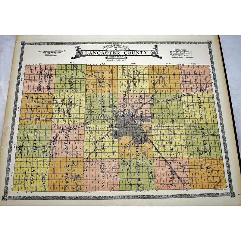
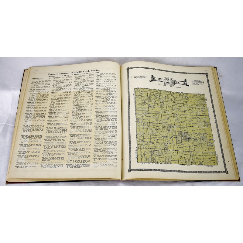
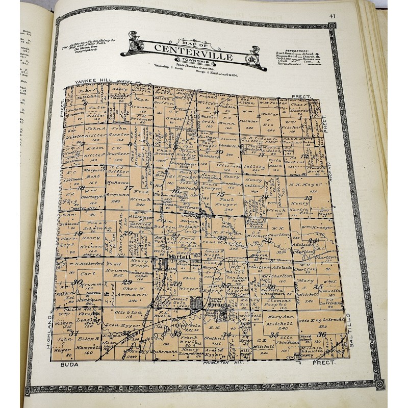
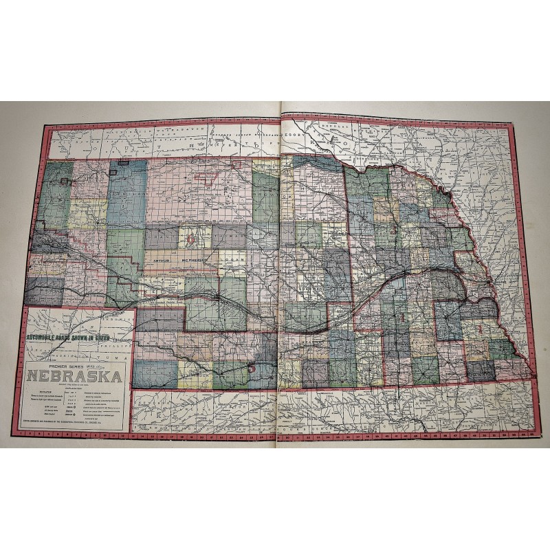
Folio; 46 cm. Bound in contemporary 3/4 red cloth over black cloth boards. Internal binding loosening. 51, [19] pages : 26 maps. Maps include: Buda Township; Centerville; Denton; Elk; Grant; Highland; Lancaster; Little Salt; Middle Creek; Mill; Nemaha; North Bluff; Oak; Olive Branch; Panama; Rock Creek; Saltillo; South Pass; Stevens Creek; Stockton; Waverly; West Lincoln, Garfield; West Oak; Yankee Hill; Lancaster County Map; State Maps of Nebraska; US Map; World Map.
This is an oversized or heavy book, which requires additional postage for international delivery outside the US.