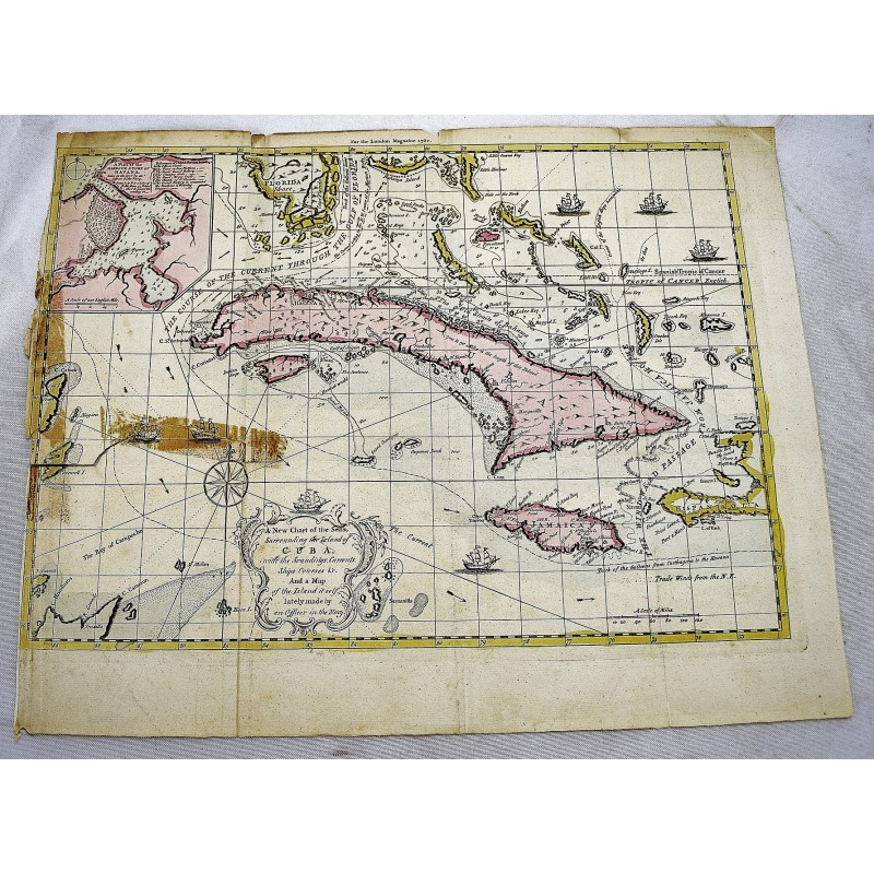
A New Chart of the Seas Surrounding the Island of Cuba with the Soundings, Currents, Ships, Courses & co. and a Map of the Island Itself Lately Made by an Officer in the Navy. [Map]
Click Image for Gallery
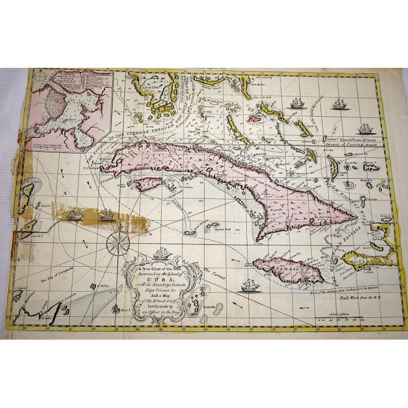
A New Chart of the Seas Surrounding the Island of Cuba with the Soundings, Currents, Ships, Courses & co. and a Map of the Island Itself Lately Made by an Officer in the Navy. [Map]
Thomas Kitchin
[London] : [Printed for R. Baldwin], 1762
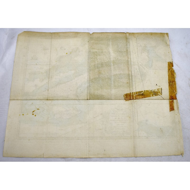
Original 18th Century Hand-Colored Map. 31.5 x 39.5 cm (12-1/2 x 15 inches). A few small tears along top margin. Old cello tape closed tear to left center margin. From The London magazine, or, Gentleman's Monthly Intelligencer. Oct. 1762, v. 21. Relief shown pictorially. Depths shown by soundings. Includes indexed inset of "A plan of the harbour & town of Havana" and ill. Sellers 1779. Scale [ca. 1:4,400,000].