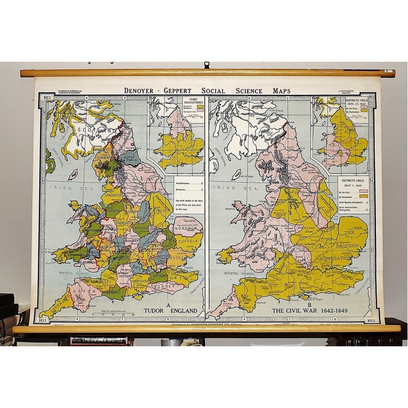
Tudor and Stuart England (Large Pull Down Map)
Click Image for Gallery
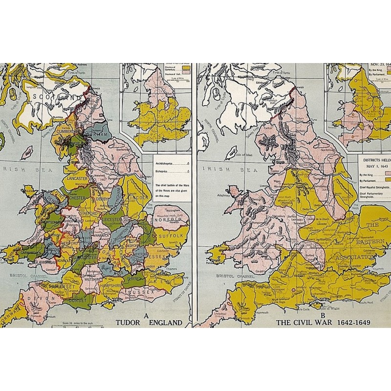
Tudor and Stuart England (Large Pull Down Map)
Samuel B. Harding, L. Philip Denoyer
Denoyer-Geppert Co., Chicago [IL], 1961
[Two maps of 16th - 17th century England] 110 x 82 cm. Color map mounted on rods top and bottom. Contents: A. Tudor England; B. The Civil War, 1642-1649 : Districts held, May 1, 1643; Inset: Chief monasteries; Districts held, Nov. 23, 1644. Denoyer-Geppert social science maps; H11. Note: This is a large, heavy map. Additional postage will apply depending on delivery location.