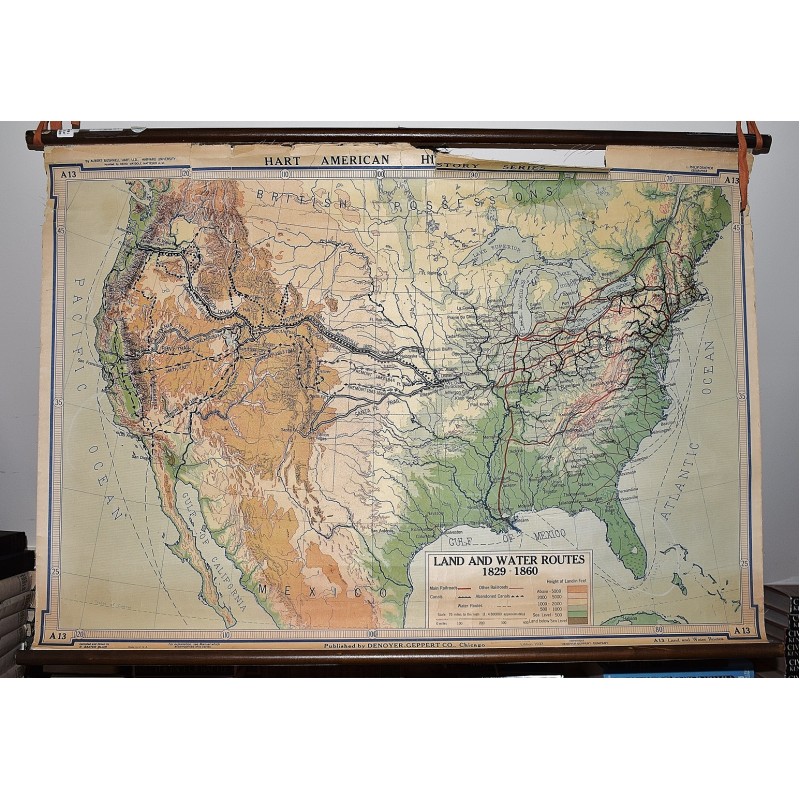
Land and Water Routes 1829-1860 (Large Pull Down Map)
Click Image for Gallery
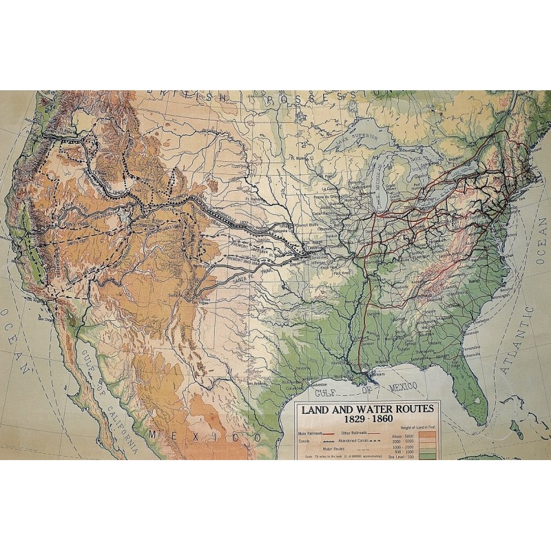
Land and Water Routes 1829-1860 (Large Pull Down Map)
Albert Bushnell Hart, L. P. Denoyer, R. Baxter Blair, Denoyer-Geppert Company; L. Philip Denoyer, geographer; drawn by R.B. Blair
Denoyer-Geppert Co., Chicago, 1937
[Historical Map of the United States] 72 x 107 cm. Mounted on linen, wood rods top and bottom. Frayed at top edge, separating from top wood rod. Scale 1:4500000. Denoyer-Geppert social science maps, A13. Note: This is a large, heavy map. Additional postage will apply depending on delivery location.