The Bible Atlas of Maps and Plans to Illustrate the Geography and Topography of the Old and New Testaments and the Apocrypha, with Explanatory Notes

Click Image for Gallery
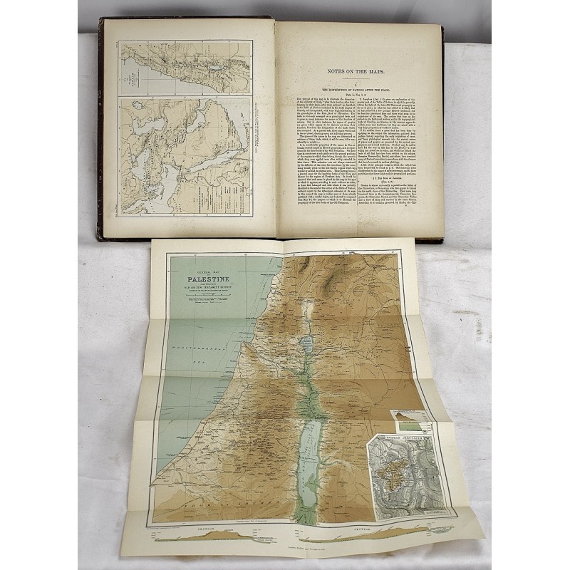
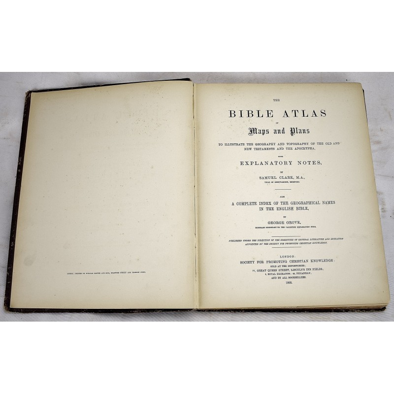
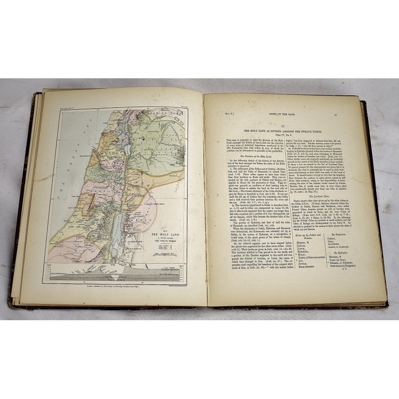

The Bible Atlas of Maps and Plans to Illustrate the Geography and Topography of the Old and New Testaments and the Apocrypha, with Explanatory Notes
Society for Promoting Christian Knowledge (Great Britain)., Samuel Clark, George Grove
Society for Promoting Christian Knowledge, London, 1868
Bound in publisher's cloth. Hardcover. Wear/tear to spine cloth. Hardcover. Clean, unmarked pages. viii, 111 pages, illustrations, color maps, plans. All edges gilt. Corners bumped.
From the library of John Glenn, (1858-1950), of the prominent Baltimore family. Glenn was director of the Russell Sage Foundation, a noted philanthropist, and Johns Hopkins trustee.
This is an oversized or heavy book, which requires additional postage for international delivery outside the US.