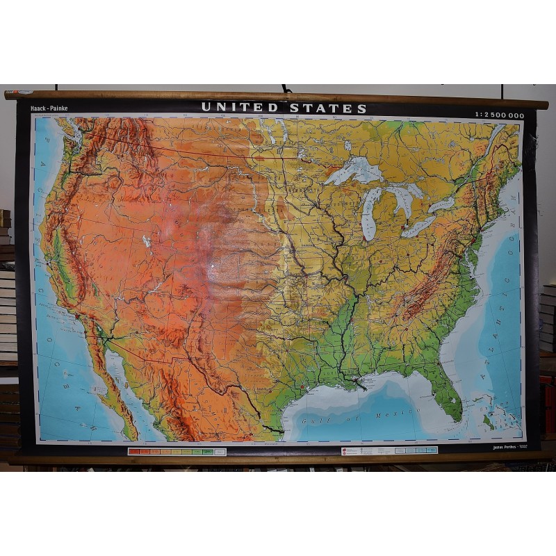
The United States (Large Pull Down Map)
Click Image for Gallery
The United States (Large Pull Down Map)
Hermann Haack Geographisch-Kartographische Anstalt Gotha, Berthold Carlberg, Denoyer-Geppert Company
Hermann Haack Geographisch-Kartographische Anstalt Gotha, 1964
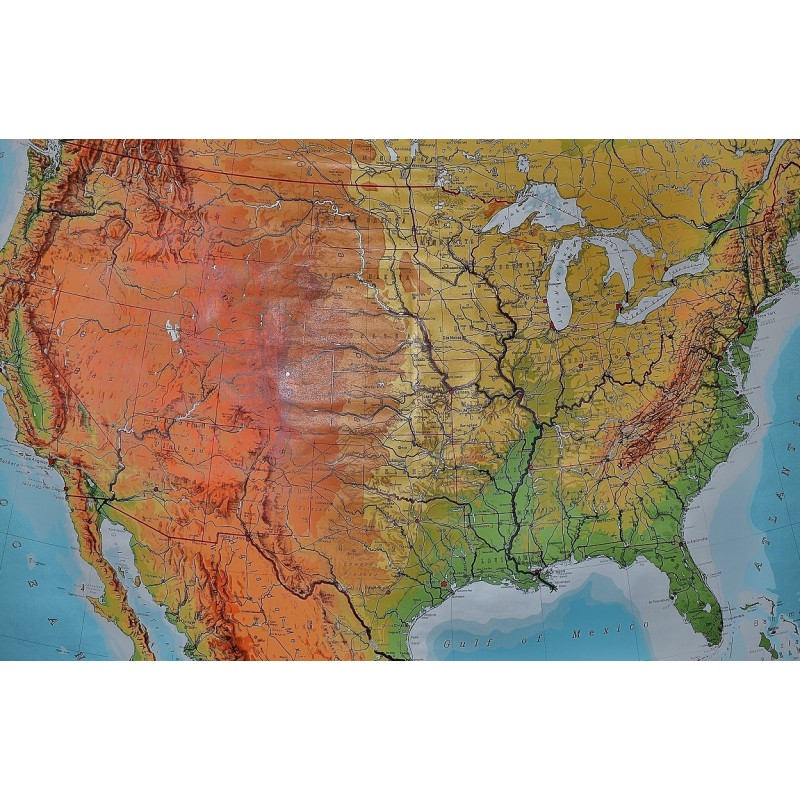
Large physical map of the United States, with state boundaries, capitals and principal cities. 132 x 198 cm. Mounted on muslin, wood rods top and bottom. Small tear, crumbled edge on right outer margin. Scale, 1:2,500,000. Denoyer-Geppert no. 15501.
Note: This is a large, heavy map. Additional postage will apply depending on delivery location