Philips' Comparative Map of Central Europe and the Low Countries (Large Pull Down Map)
Click Image for Gallery
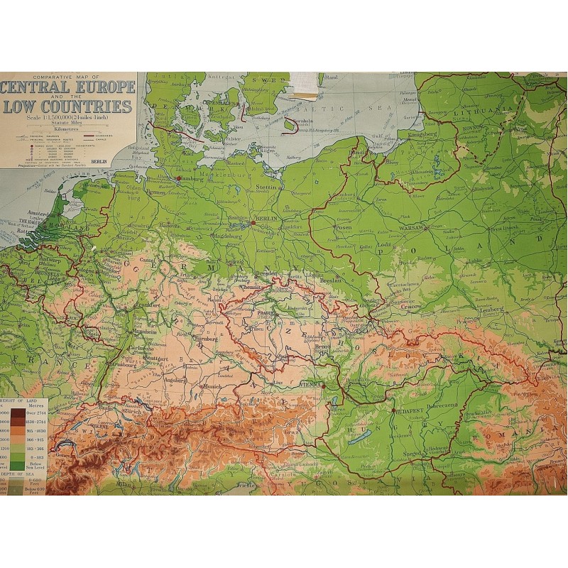
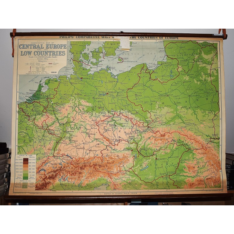
Philips' Comparative Map of Central Europe and the Low Countries (Large Pull Down Map)
George Philip & Son, London Geographical Institute
George Philip & Son, 1940
83 x 114 cm. Color map mounted on muslin, wood rods top and bottom. Some chipping, wear. Scale 1:1,500,000. 1 in. = 24 mi. ; (E 4--E 28/N 56--N 46). Relief shown by gradient tints and spot heights. "Projection: conical with two standard parallels." Shows railway and steamship routes. Philips' comparative wall atlas of the countries of Europe. Note: This is a large, heavy map. Additional postage will apply depending on delivery location.