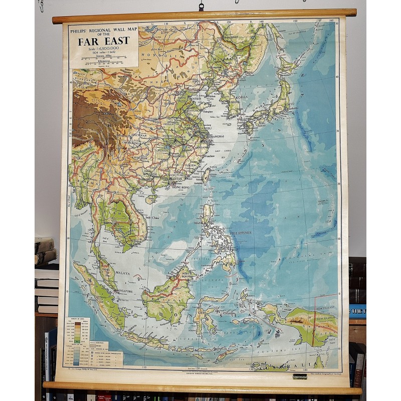
Philip's Regional Wall Map of the Far East (Large Pull Down Map)
Click Image for Gallery
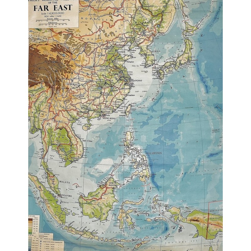
Philip's Regional Wall Map of the Far East (Large Pull Down Map)
George Philip & Son, Harold Fullard
G. Philip & Son, London, 1961
128 x 94 cm. Large wall map, with wooden rods, top and bottom. Some creases. Scale 1:6,500,000 ; Bonne's projection. Physical wall mapRelief shown by gradient tints; Shows ocean depths; political boundaries added in red.