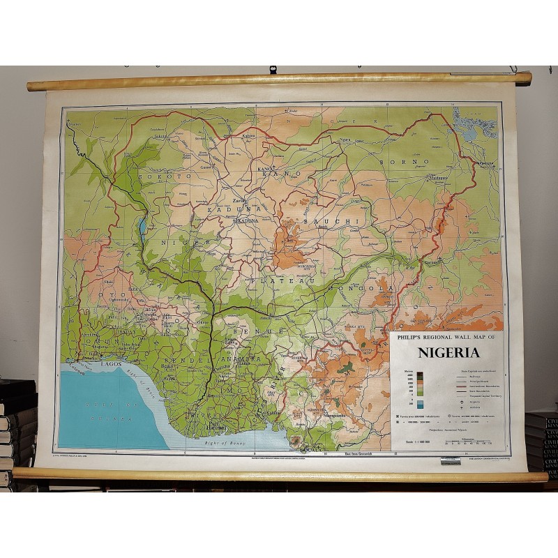
Philip's Regional Wall Map of Nigeria (Large Pull Down Map)
Click Image for Gallery
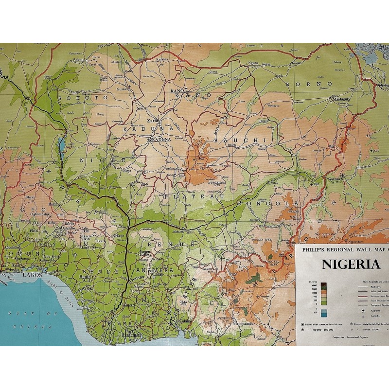
Philip's Regional Wall Map of Nigeria (Large Pull Down Map)
George Philip & Son (Cartographer), London Geographical Institute
George Philip & Son, London Geographical Institute, 1976
96 x 120 cm. Color map mounted on muslin, wooden rods top and bottom. Scale 1:1,400,000, international Polyconic projection., (E 4--E 14/N 14--N 4). Note: This is a large, heavy map. Additional postage will apply depending on delivery location.