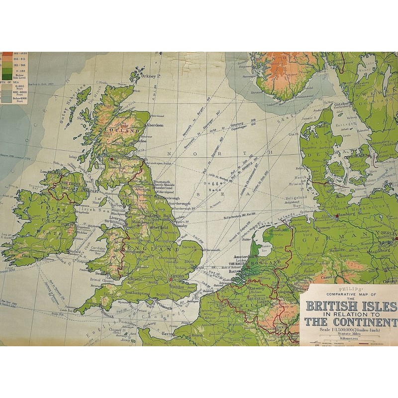
Philip's Comparative Map of the British Isles in Relation to the Continent (Large Pull Down Map)

Click Image for Gallery
Philip's Comparative Map of the British Isles in Relation to the Continent (Large Pull Down Map)
George Philip & Son, London Geographical Institute
George Philip & Son ; Denoyer-Geppert [distributor], London, Chicago, 1930
95 x 120 cm. Mounted on muslin, wood rods top and bottom. Chipping along top margin close to rod. Relief shown by gradient tints and spot heights. "Projection: conical, with two standard parallels." Shows railway and steamship routes. Scale 1:1,500,000. 1 in. = 24 mi. ;, Conic projection, (W 10--E 14/N 60--N 48). Note: This is a large, heavy map. Additional postage will apply depending on delivery location.