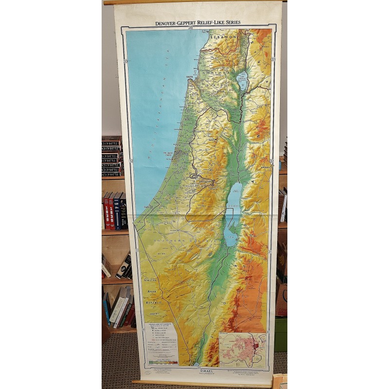
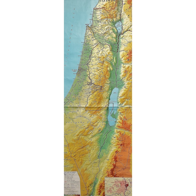
Israel: Denoyer-Geppert Relief-Like Series (Large Pull Down Map)
Click Image for Gallery
Israel: Denoyer-Geppert Relief-Like Series (Large Pull Down Map)
Karl Wenschow GmbH, David H. K. Amiran, Miriam Karmon, Denoyer-Geppert Company
Denoyer-Geppert, Chicago, 1966
241 x 88 cm. Large wall map, with wooden rods, top and bottom. Creasing. scale 1: 750 000. Relief shown by gradient tints and shading. Includes inset of Jerusalem and vicinity. "Map RL312. Relief-like Israel." Scale approximately 1:200,000, (E 34--15'--E 35--45'/N 33--15'--N 29--30'). Relief map of Israel showing international boundaries, highways, railroads, antiquity and religious sites and populated places. Relief shown by hypsometric tints and spot heights.
Note: This is a large, heavy map. Additional postage will apply depending on delivery location.