India, Burma and Ceylon: Philips' Comparative Series of Large School Maps (Large Pull Down Map)
Click Image for Gallery
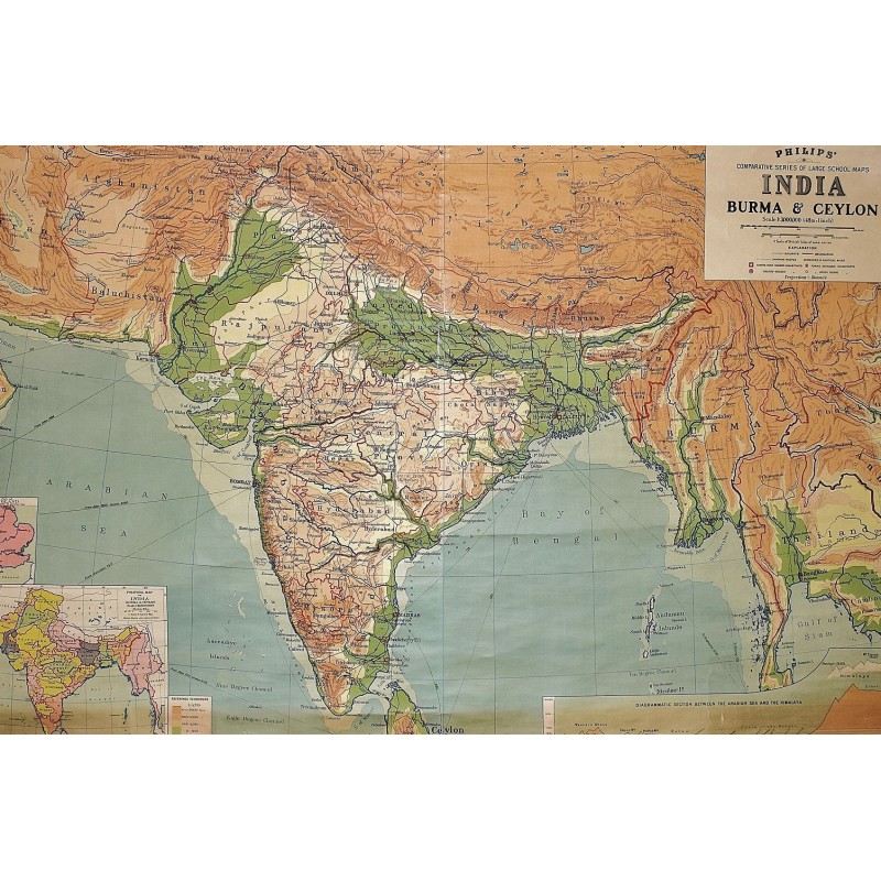
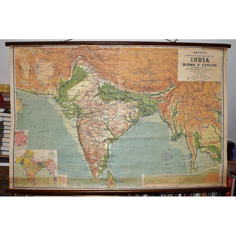
India, Burma and Ceylon: Philips' Comparative Series of Large School Maps (Large Pull Down Map)
George Philip & Son, London Geographical Institute
George Philip & Son, 1940
[Pre-WWII map of India] 182 x 243 cm. Mounted on muslin, wood rods top and bottom. Generally very good condition, with small taped section at center. Some fray where map meets the top rod. Scale: 1:3000000. Inset map: 1:12000000. Two inset maps. Note: This is a large, heavy map. Additional postage will apply depending on delivery location.