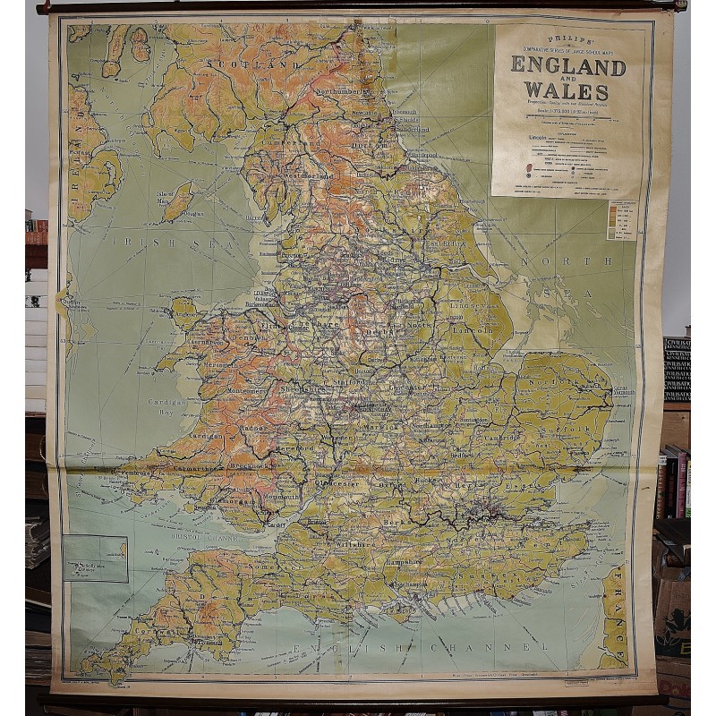
England and Wales: Philips' Comparative Series of Large School Maps (Large Pull Down Map)
Click Image for Gallery
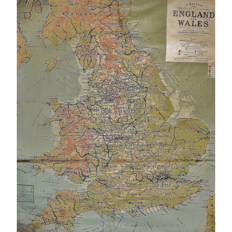
England and Wales: Philips' Comparative Series of Large School Maps (Large Pull Down Map)
George Philip & Son, London Geographical Institute
George Philip & Son, London Geographical Institute, 1933
158 x 177 cm. Mounted on muslin, wood rods top and bottom. A few old tears have been taped. No date, presumed circa 1930-1940.
Note: This is a large, heavy map. Additional postage will apply depending on delivery location.