Eight Maps from the Atlas Volume of Life of George Washington

Eight Maps from the Atlas Volume of Life of George Washington
Marshall, John
Philadelphia: C.P. Wayne, 1804
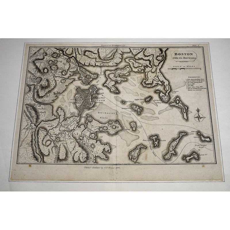
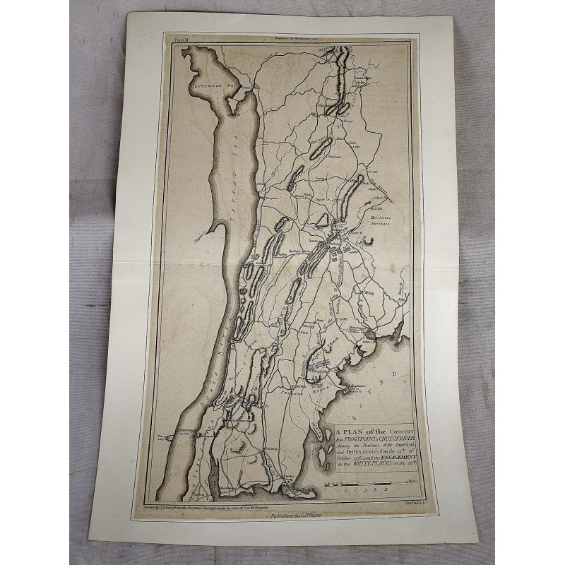
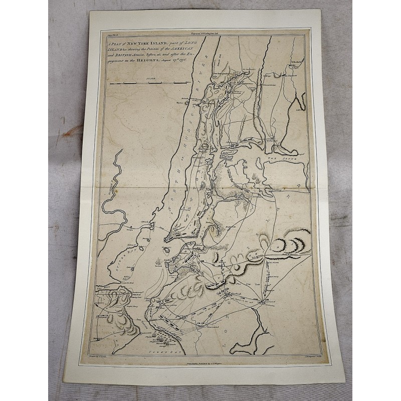
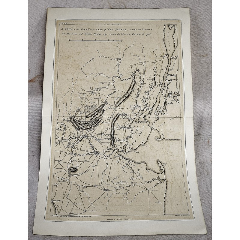
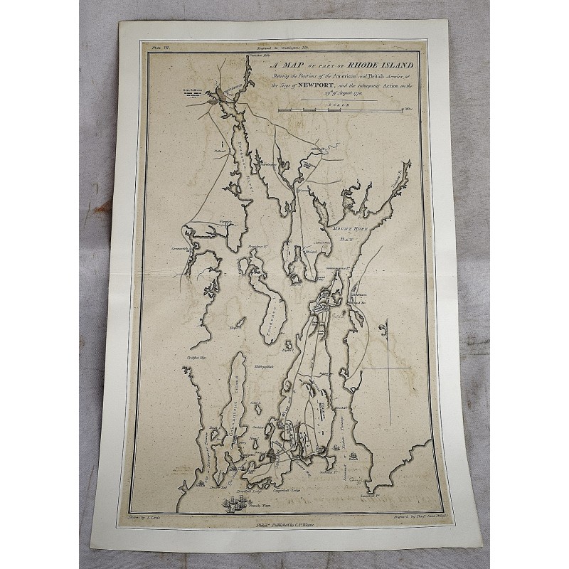
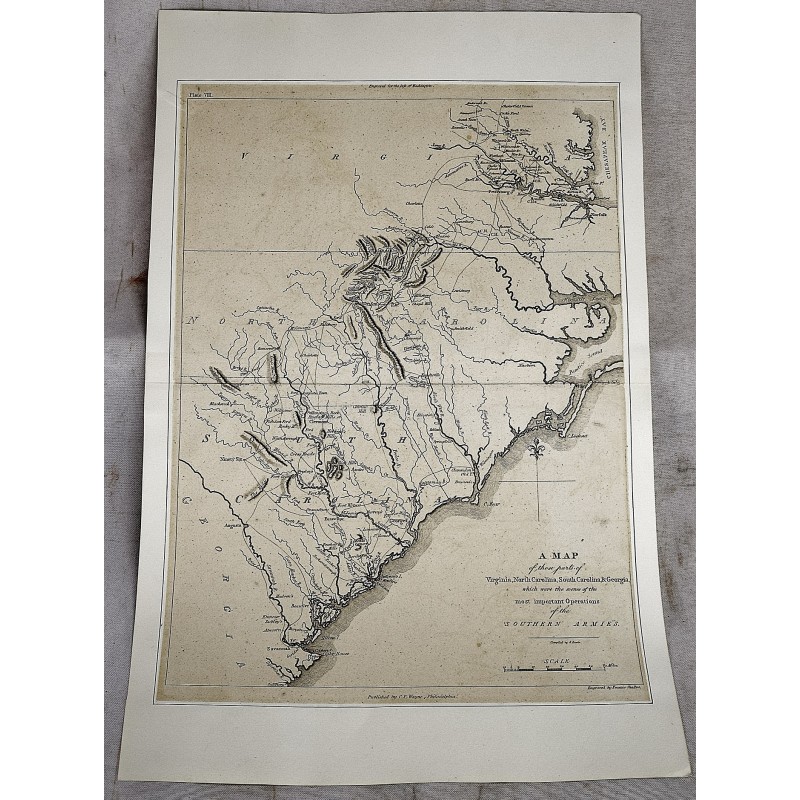
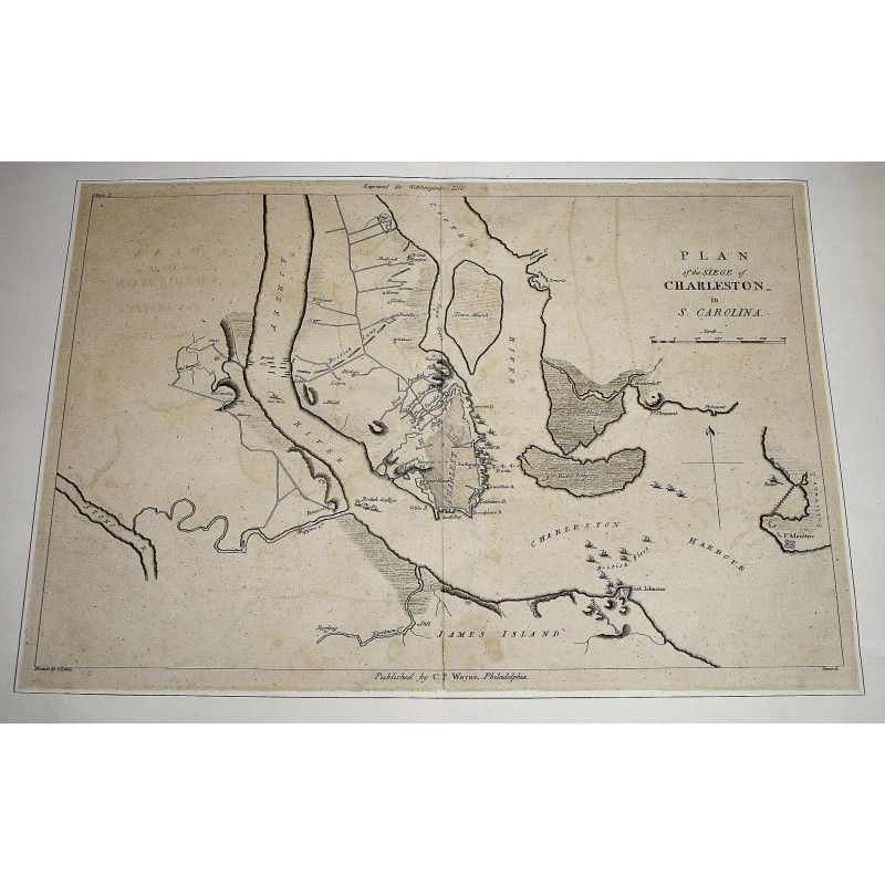
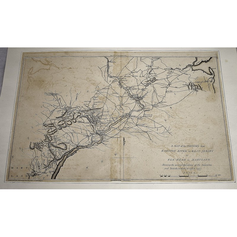
8 Maps from the Atlas volume of Marshall's Life of George Washington, 1804-1807. Dry mounted. Includes: 1) Boston with its Environs; 2) A Plan of New York Islands, part of Long Island &c. shewing the Position of the American and British Armies August 27th 1776; 3) A Plan of the Country from Frog's Point to Croton River shewing the Positions of the American and British Armies; 4) A Plan of the Northern Part of New Jersey, shewing the Positions of the American and British armies after crossing the North River in 1776; 5) A Map of the Country from Raritan River in East Jersey to Elk Head in Maryland; 7) A Map of part of Rhode Island Shewing the Positions of the American and British Armies at the Siege of Newport 29th August 1778; 8) A Map of the Country which was the scene of operations of the Northern Army; including the Wilderness through which General Arnold marched to attack Quebec; 10) Plan of the Siege of Charleston in S. Carolina.