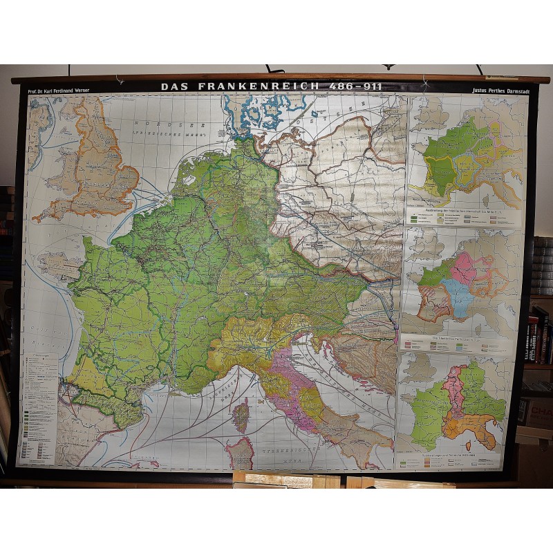
Das Frankenreich 486-911 (Carolingian Empire) (Large Pull Down Map)
Click Image for Gallery
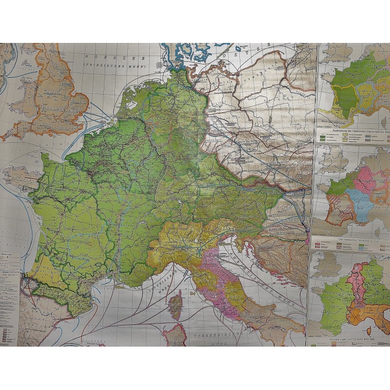
Das Frankenreich 486-911 (Carolingian Empire) (Large Pull Down Map)
Karl Ferdinand Werner
Perthes, Darmstadt, 1977
[Europe In the Dark Ages: The Empire of the Franks] 250 x 185 cm. Color map, mounted on muslin, wood rods top and bottom. Scale 1:1 000 000. Insert maps: [1] : Ausbreitung der frankischen Herrschaft bis Mitte 6. JhScala 1 : 3.000.000. [2] : Die frankischen Teilreiche im 7. JhScala 1 : 3.000.000. [3] : Reichsteilungen und Teilreiche 843-888Scala 1 : 3.000.000
Note: This is a large, heavy map. Additional postage will apply depending on delivery location