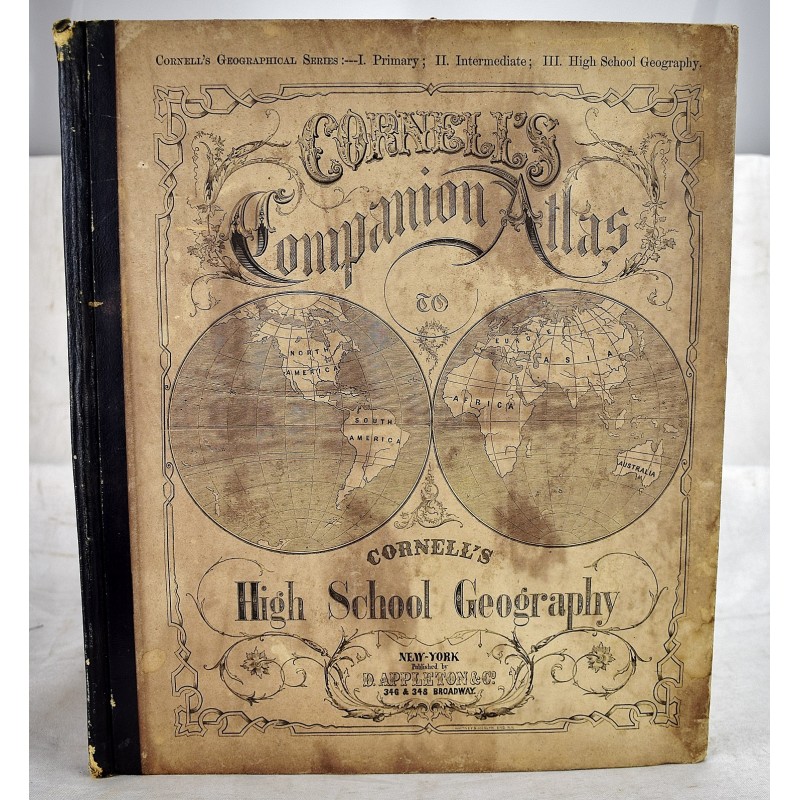
Cornell's Companion Atlas to Cornell's High School Geography
Click Image for Gallery
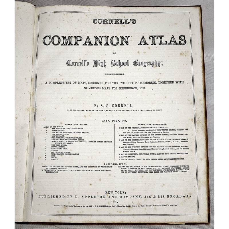
Cornell's Companion Atlas to Cornell's High School Geography
Sarah S CORNELL
New York: Appleton, 1857
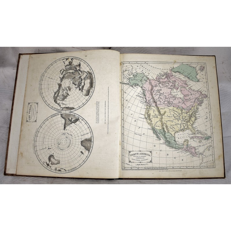
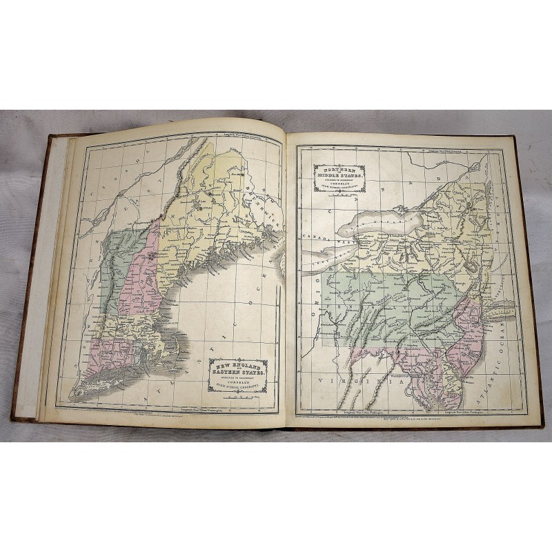
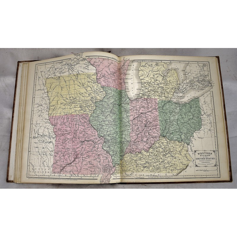
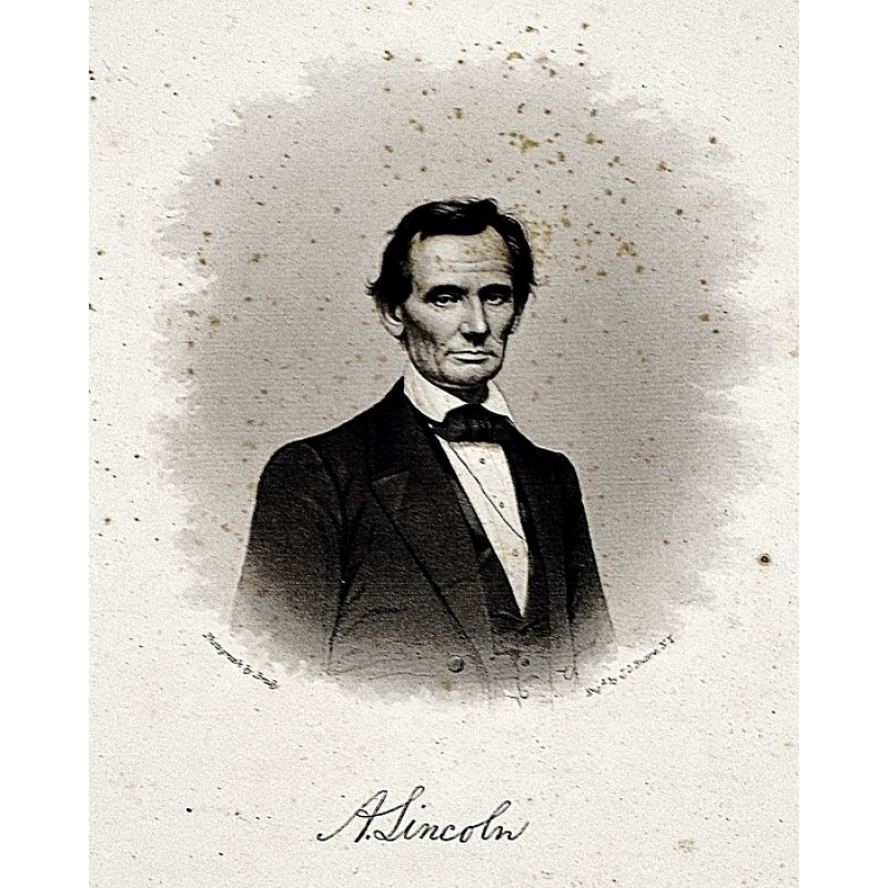
Bound in publisher's 1/4 roan, over pictorial boards. Small folio, 34 x 29 cm. Solid cover. Hinges starting. Minor discoloration to cover. 27 hand-colored engraved maps on 25 mapsheets, uncolored reference map, 8 pages of tables. Minor foxing throughout. Hand colored maps. Includes an extra engraved illustration of Abraham Lincoln on a loose sheet after a photograph from Matthew Brady. Rumsey describes this atlas as a "very high quality school atlas" - Rumsey 1723. It was issued annually with updates until at least 1874.