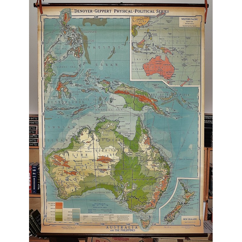
Australia and the Philippines (Large Pull Down Map)
Click Image for Gallery
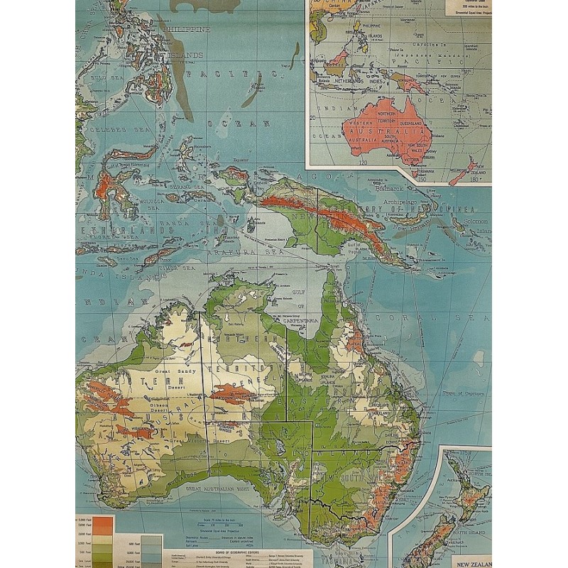
Australia and the Philippines (Large Pull Down Map)
Thomas Griffith Taylor, R. Baxter Blair (Cartographer)
Denoyer-Geppert, Chicago, 1937
111 x 150 cm. Color map mounted on muslin, wood rods top and bottom. Insets: Western Pacific; New Zealand. [1:19,008,000]. 300 miles to the inch ; New Zealand, same scale as on main map, 75 miles to the inch. Relief shown by gradient tints, shading, and spot heights. Depth shown by gradient tints and soundings. Shows land elevations and sea depths, major cities according to population, intermittent rivers, streams, salt lakes, and railroads. Denoyer-Geppert series, J10R, Map J10r. Note: This is a large, heavy map. Additional postage will apply depending on delivery location.